🏍️ The Reservoir Loop
143 km 2h 52m riding, estimated ↗ 374 m climbing Moderate Half day Loop
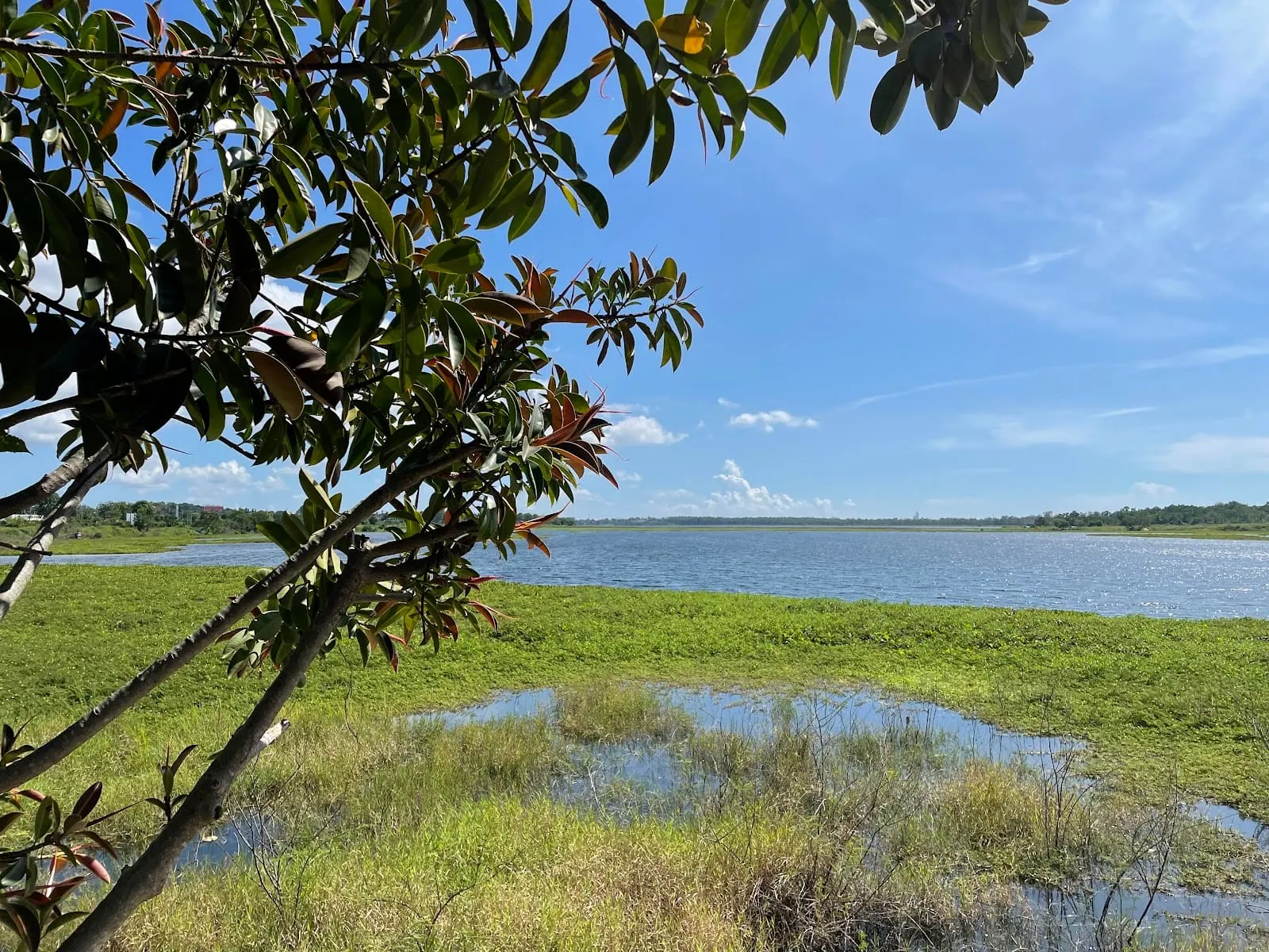
What is The Reservoir Loop?
The Reservoir Loop is a 143 km loop from Jomtien Beach with about 2h 52m of riding, not counting stops — a half day out, rated moderate. It takes in Huai Chak Nok Reservoir, Outback Sports Bar & Restaurant, Mabprachan Lake, Road 1015, Dok Krai Reservoir, Rayong back roads, Ban Amphoe Reservoir, Buddha Mountain - Khao Chi Chan and Bang Saray Beach and comes back to the start.
Loading the map…
This ride was planned to stay off the big roads and beside water wherever it could, and it does: about 29 km of it runs along a shore, and until the run home it barely touches a main road.
It starts on the Jomtien beach road, cuts inland past Huai Chak Nok reservoir and up the lake road at Mabprachan, where the water is in plain view along the stretch with the bars and shops and drops out of sight further north. On a Sunday, the Outback Sports Bar just south of the lake does an excellent roast; it is a short detour off the route.
North of the lake, road 1015 runs east for nine kilometres through low hills to Highway 331. Rob rode everything up to this point in November 2026 and called that last road a beautiful ride.
Beyond 331 the route is planned from the map and not yet ridden: small rural roads past minor reservoirs to Dok Krai, the big one, where an unclassified road follows the shore for about 16 km. Expect some rough surface on the unnamed roads.
From Dok Krai it turns south-west across open country, passes Ban Amphoe and Huai Tu reservoirs on hilly lanes behind Buddha Mountain, and comes out on the coast road to Bang Saray beach. The way home is straight up Sukhumvit.
The GPX file has the exact roads; the Google Maps link uses only the stops below, so Google may choose a faster road between them.
The stops
- 1
Jomtien Beach · Pattaya
Start. South along the beach road, then inland on Chaiyapruek
- 2
Huai Chak Nok Reservoir
The road follows the north shore
- 3
Outback Sports Bar & Restaurant · Pattaya
About 600 m off the route, just before the lake. Rob's pick for a Sunday roast
- 4
Mabprachan Lake · Pong
Lake road. Best views by the bars and shops at the south end
- 5
Road 1015
Nine kilometres east through low hills to Highway 331
- 6
Dok Krai Reservoir
The furthest point. The shore road runs about 16 km
- 7
Rayong back roads
South-west across open country towards Highway 36
- 8
Ban Amphoe Reservoir
Hilly lanes past this and Huai Tu reservoir
- 9
Buddha Mountain - Khao Chi Chan · Na Chom Thian
The Buddha on the cliff. Free, big car park
- 10
Bang Saray Beach · Pattaya
The sea. Lunch on the beach road, then Sukhumvit home
- ↺
Back to Jomtien Beach
Common questions
- How long is The Reservoir Loop?
- The Reservoir Loop is 143 km by road with about 2h 52m of riding time, not counting stops. That makes it a half day ride; add an hour or two for food, photos and fuel.
- Where does The Reservoir Loop start?
- It starts at Jomtien Beach in Pattaya. It's a loop, so you finish back where you began.
- How hard is The Reservoir Loop?
- Moderate. Some hills and a few fast sections. Comfortable on anything 150cc and up.
- How hilly is The Reservoir Loop?
- The Reservoir Loop climbs a total of 374 m over 143 km, topping out at 132 m above sea level. That is rolling rather than mountainous: steady climbs and proper descents, nothing alpine. The profile under the map shows where the climbing falls.
- What are the stops on The Reservoir Loop?
- In order: Jomtien Beach, Huai Chak Nok Reservoir, Outback Sports Bar & Restaurant, Mabprachan Lake, Road 1015, Dok Krai Reservoir, Rayong back roads, Ban Amphoe Reservoir, Buddha Mountain - Khao Chi Chan and Bang Saray Beach. Then back to the start.
Track as ridden, November 2026 · elevation from Open-Meteo · Last updated November 2026